Presented during the Asian American Journalists Association’s Digital N3 #DN3
What is QGIS?
It’s a free and open-source mapping software for processing geospatial data.
Previously known as Quantum GIS. (GIS means Geographical Information System).
How can I use this in my reporting?
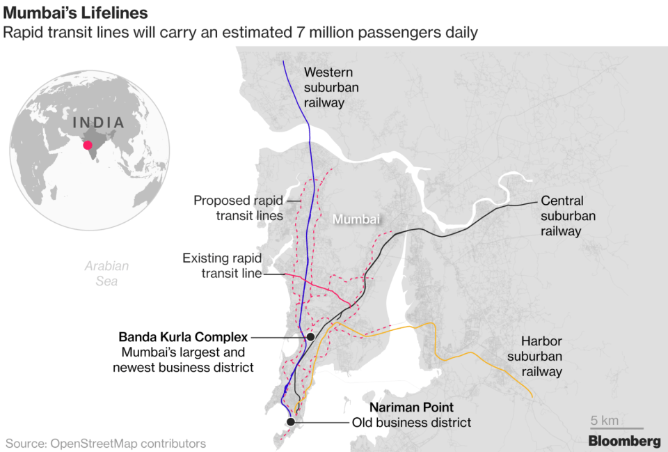
You can visualize your data using maps.
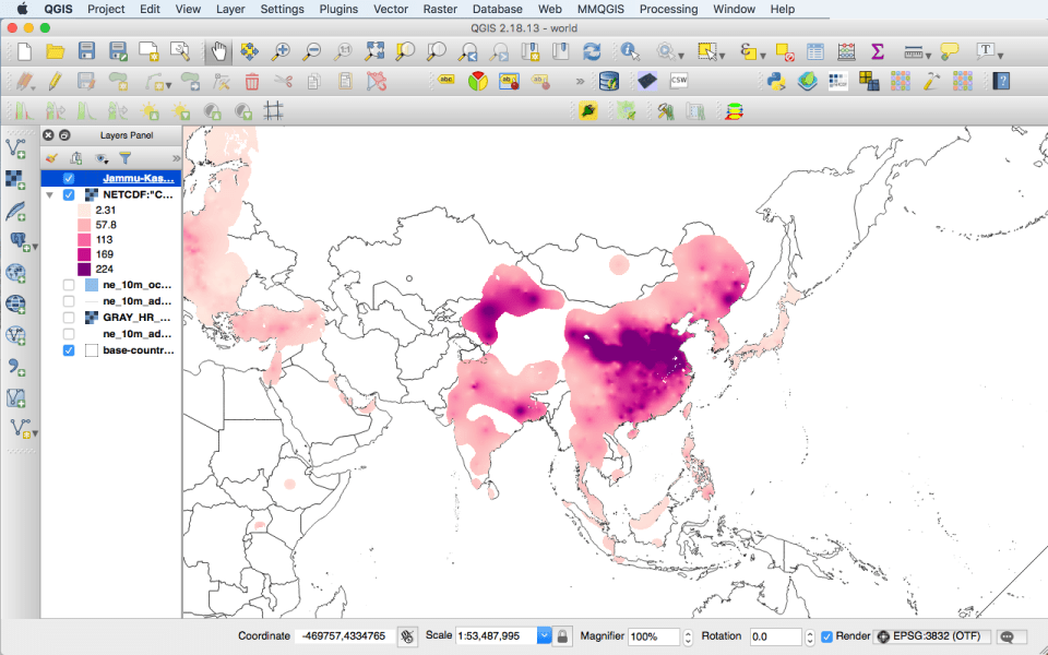
What does QGIS look like?

How can I learn QGIS?
I learned QGIS via Youtube tutorials created by my former Graphics mentor.
Where do I start?
1. Download and install QGIS.
2. Download base map data.
3. Watch some Youtube video tutorials, or get in touch with me if you questions!
A few more things:
1. Join The Spatial Community on Slack. You’ll find people from all over the world who are happy to help you out. Check out the #qgis channel!
2. Follow #gistribe and #augistribe on Twitter.
Thank you,
Hannah
@hannahdormido | [email protected]


